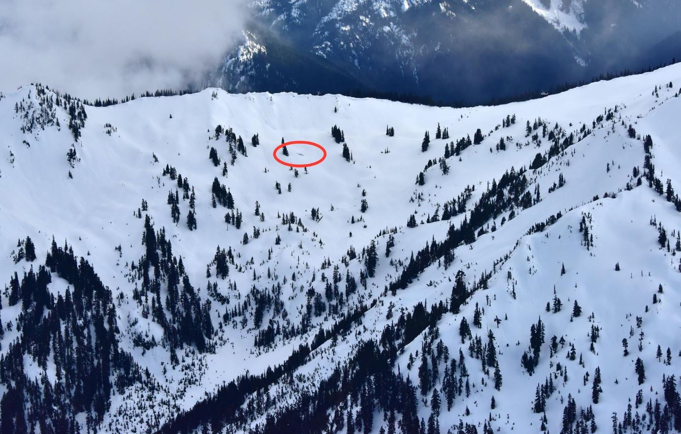
On April 2, 2017, a small General Aviation aircraft crashed in an isolated part of the Olympic Mountains in Washington State.
The Emergency Locator Transmitter (ELT) sent its 406 MHz distress signal via the NOAA Geostationary Operational Environmental Satellite (GOES) satellite and the new Medium-altitude Earth Orbiting Search and Rescue (MEOSAR) satellite constellation to NOAA ground stations around the United States.
The distress alert was sent to the SARSAT United States Mission Control Center operated by NOAA.
Within seconds from when the ELT was activated the MEOSAR constellation had provided an accurate location which was positively confirmed 20 minutes later.
The combination of the accurate MEOSAR location from the 406 MHz signal as well as the 121.5 MHz homing capability of the ELT allowed rescue teams to pin point the location and perform a rescue on the side of the snow-covered Jupiter Mountain.
The pilot and passenger survived the crash though minor injuries were reported.
Photo credit: Long Bach Nguyen, Chief Pilot, Washington Air Search and Rescue.