Author: kevin

  • Where can I register my SSAS beacon?

    The Cospas-Sarsat policy does not allow registration of Ship Security Alert System (SSAS) beacons in the International Beacon Registration Database (IBRD).

    Per the guidance provided by the International Maritime Organization, it is the responsibility of Administration to maintain a national SSAS registry.

    By creating an account on GISIS http://gisis.imo.org/Public/ (select Maritime Security section) you can have access to the points of contact for SSAS beacon registries in different countries.

    Information required from SOLAS Contracting Governments under the provisions of SOLAS regulation XI-2/13

  • Cospas-Sarsat Videos

    19 January 2010.

    Three videos on the Cospas-Sarsat System are now available on our website under the About Us – For the Media – Video tab.  Click here to view them.

    If you use any of this material, please credit the appropriate organization.


    Related links:

    Graphics and Photos


  • What happens if I do not register my 406 MHz emergency beacon?

    The System will still work but not registering your beacon defeats the purpose of owning a beacon and taking advantage of current technology.  The Cospas-Sarsat System is designed to provide both identification and location information.  Identification information such as the radio call sign or aircraft tail number can be encoded into the 406 MHz emergency beacon. If the beacon is encoded with a serial number, it is very important that it be registered as no information about the beacon user can be encoded in the beacon’s message. Furthermore some countries mandate registration by law and there may be penalties for not registering.

    As long as the System is able to obtain a position (either using Doppler processing or through the use of beacons that can transmit their position as part of the 406 MHz message), search and rescue personnel can respond to a distress signal.  However, when a position is not available, search and rescue personnel have to rely on registration information.  It is in these cases that rescue could be delayed until the System can obtain a position.  Even with a position, the response may be delayed until the search and rescue personnel determine the nature of the distress and their capability to respond to the location of the distress.  When registering a beacon, try to list two contacts, one of which the search and rescue personnel would be able to reach at any time of the day.

    Beacons can be stolen and activated maliciously and they can be activated accidentally if not cared for in a proper manner.  In such circumstances the registration data can be used to contact the owner and/or emergency contacts to establish that an emergency situation does not exist.  This can assist the owner to remedy a fault if one exists and it can assist the SAR authority to take appropriate action if no emergency exists.  This means that your registration can help avoid the unnecessary use of valuable SAR resources and putting rescuers lives at risk.

  • Cospas-Sarsat Celebrates 30 Years

    24 November 2009

    30th_Anniversary

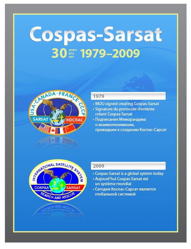
    The 30th anniversary of the signing of the COSPAS-SARSAT Memorandum of Understanding (MOU) was marked in October 2009 in Montreal. The multi-national search and rescue satellite aided tracking (SARSAT) system is credited with saving over 25,000 lives since it became operational in 1982.

    In the mid-1970s, the Department of National Defence (DND) asked the Communications Research Centre (CRC) to explore the use of satellites to aid in search and rescue. Nations conducting similar research joined forces: France and the United States signed the SARSAT MOU with Canada in 1979, and the former Soviet Union with its COSPAS initiative, came on board later that year, resulting in the COSPAS-SARSAT program. COSPAS-SARSAT now involves 40 countries.

    Read more at http://www.crc.gc.ca/en/html/crc/home/mediazone/whatsnew/nov23-27_09_1

  • Coding Coarse Position Data in National Location Protocol

    Bits 59 to 85 of national location protocol beacons are used for coding course position data as described below.

    national_location_position_pdf1

    The default settings to be used if location data is not available are as follows:

    • Bits 59 to 71 = “0 111 111 100 000”
    • Bits 72 to 85 = “0 111 111 110 000 0”

    Note: Latitude and longitude data are rounded off (i.e. not truncated) to the available resolution. The initial coarse position encoded in the first protected data field (PDF-1) is selected to be as close to possible to the actual position. See table below for an example:


    Real Position Position Encoded in Beacon
    43 deg : 31 min : 56 sec North 43 deg : 32 min North
    01 deg : 25 min : 32 sec East 01 deg : 26 min East

    See the example depicting the assignment of bits in PDF-1 for encoding the location above.

    National Location Protocols provide for higher resolution information to be encoded in the second protected data field (PDF-2) as a latitude and longitude offset relative to the coarse position provided in PDF-1.

  • Coding Offset Position Data in the National Location Protocol

    If bit 110 is set to “1”, the offset position data which is applied to the coarse position data provided in bits 59 through 85 of PDF-1 is encoded into the National Location Protocol beacons in bits 113 to 126 as indicated below. In order to minimise the frequency of updates of the position data in PDF-1, the magnitude of the offsets has a range of +/- 2 times the resolution provided by PDF-1.

    The initial offset to PDF-1 encoded in bits 113 to 126 of PDF-2 is selected so that when summed with the coarse position it produces a finer position that is as close as possible to the actual position of the beacon. Subsequent position updates are then encoded by retaining the coarse position (in PDF-1) and changing only the offset, provided that the required value is within the range of the offset.

    If bit 110 is set to “0”, the structure of PDF-2 must be defined by the responsible authority of the Country identified by the country code (bits 27 – 36).

    national_location_position_in_pdf2

    The default settings to be used if offset location data is not available are as follows:

    • Bits 113 to 119 = “1 00 1111”
    • Bits 120 to 126 = “1 00 1111”

    The table below provides an example of how the initial coarse and offset values are determined.


    Real Position Coarse Position Encoded in PDF-1
    Offset Position Encoded in PDF-2
    43 deg : 31 min : 56 sec North 43 deg : 32 min North – 0 min : 4 sec
    01 deg : 25 min : 32 sec East 01 deg : 26 min East – 0 min : 28 sec

    In the example above the 43 deg: 31 min: 56 sec North, 1 deg: 25 min: 32 sec East would be the resulting position encoded in the beacon. The allocation of bits for this example is depicted here.
  • International Cospas-Sarsat Programme

    The International Cospas-Sarsat Programme is a satellite-based search and rescue (SAR) distress alert detection and information distribution system, best known for detecting and locating emergency beacons activated by aircraft, ships and backcountry hikers in distress.

    The International Cospas-Sarsat Programme (the Programme) began as a joint effort of Canada, France, the United States, and the former Soviet Union in 1979.  It was formally constituted as an intergovernmental organisation in 1988 through the International Cospas-Sarsat Programme Agreement (the Agreement or ICSPA) signed by the four “Parties” to the Agreement: Canada, France, the USA and the former USSR.  The Russian Federation replaced the USSR as Party to the Agreement in January 1992.

    Including the four Parties to the Agreement, 43 States and 2 organisations (the Participants) are now currently formally associated with the Programme and actively participate in the management and the operation of the Cospas-Sarsat System (the System). 

    COSPAS (КОСПАС) is an acronym for the Russian words “Cosmicheskaya Sistema Poiska Avariynyh Sudov” (Космическая Система Поиска Аварийных Судов), which translate to “Space System for the Search of Vessels in Distress”. SARSAT is an acronym for Search And Rescue Satellite-Aided Tracking.


      [module-209]


  • Videos

    View the latest Programme videos here:

    http://cospas-sarsat.int/en/search-and-rescue/programme-videos-en


    Archival Footage:

    First Save with Sarsat Programme in 1982.

    Length: 15 minutes
    Source: National Search and Rescue Secretariat and Communications Research Centre

    Cospas-Sarsat Programme on Global TV, May 2006

    Cospas-Sarsat – The First Generation (abridged)

    Special abreviated version for launch of Cospas-Sarsat in Montreal (2005)

  • System Status

    As of December 2010 the Cospas-Sarsat System had provided assistance in rescuing over 30,700 persons in over 8,300 incidents. [Read more]

This site is registered on wpml.org as a development site. Switch to a production site key to remove this banner.
