At 6:14 UTC on 16 September 2015, an alert from an ELT that belonged to a French private helicopter company was detected by MSG 2 geostationary satellite and received by the French Mission Control Center.
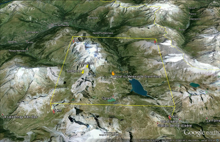
16 minutes later, the Cospas-Sarsat System, using the passes of SARSAT 10 and SARSAT 7 satellites and its Doppler location technology, calculated a position near Tignes, a famous skiing resort in the French Alps, France.
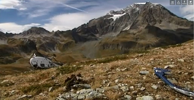
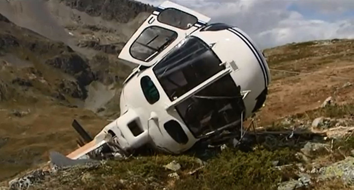
Thanks to the elements already registered in the beacon database by the owner, the French RCC Lyon made a direct call to the Operations office of the company which confirmed the AS 350 helicopter was gone for a technical inspection of several avalanche triggering systems with 6 persons on board.
Immediately, an EC 145 Rescue Helicopter and mountain search and rescue units were sent to the location and some minutes later they found two ski patrollers severely injured and four other people upset.
Cospas-Sarsat provided the first alert to the RCC in this case and both satellite positions were not further than 3 km from the crash site.